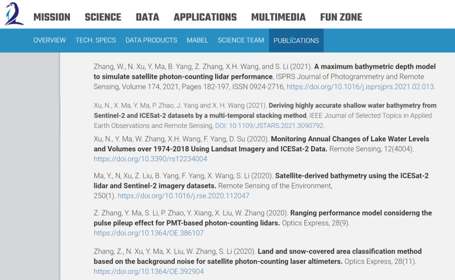
Eight SARCCM research papers listed on NASA's ICESat-2 official publications site
The NASA’s new generation lidar, i.e., Ice, Cloud, and land Elevation Satellite‐2 (ICESat‐2), can map the Earth’s surface using a sampling strategy with unprecedented spatial detail. The physical mechanism and data form of this new photon-counting lidar is quite different from that of conventional full-waveform lidars, which introduces some challenges in signal processing but also more chances in wider applications.
The SARCCM satellite remote sensing research team investigated the physical mechanisms, data processing, and data applications of this new lidar, and published a series of papers in high impact journals, e.g., Remote Sensing of Environment, ISPRS Journal of Photogrammetry and Remote Sensing, IEEE Geoscience and Remote Sensing Letter, Optics Express, etc.
Eight papers from the SARCCM team were listed on NASA's ICESat-2 official publications website.